
| [Home -> Armin Grewe's holidays -> Scotland Summer 2005 -> The north-east of Islay] [Contact] |
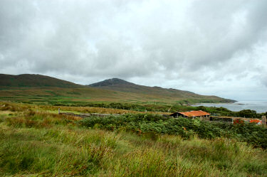 |
After all the rain the previous day I was hoping for better weather for another walk. While not perfect the day was dry with even the occasional sunny spells, so I decided to go for a long walk in the north-east of Islay and drove to Bunnahabhain.
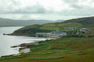
The clouds were fairly low but looked high enough to attempt to walk up Sgarbh Breac, with 364m the highest hill in the north-east of Islay. If the weather remainded stable I could also continue towards Bholsa and/or Rhuvaal. Initially following the telephone poles leading to Rhuvaal Lighthouse I soon had some great views over Bunnahabhain Bay with the wreck of the Majestic at Rubh'a'Mhill and Bunnahabhain Distillery. Near Allt Bhachlaig I walked inland to start the ascent of Sgarbh Breac. |
 |
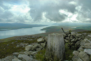 |
| After approx 1.5hrs I arrived at the summit of Sgarbh Breac. Unfortunately the clouds were still hanging fairly low and it was quite hazy, nevertheless the views were quite impressive. I could see Rhuvaal Lighthouse, the whole Sound of Islay, large parts of the Isle of Jura (unfortunately not the summits of the Paps of Jura), most of the north of Islay, parts of Loch Gruinart and finally Bholsa.
I managed to take pictures for a large panorama, this panorama is also available as a QuickTime VR panorama of the view from Sgarbh Breac (2.6MB download)):  |
|
 |
I hope to return here on a clear and sunny day, the view must be even more impressive then.
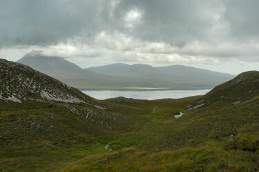
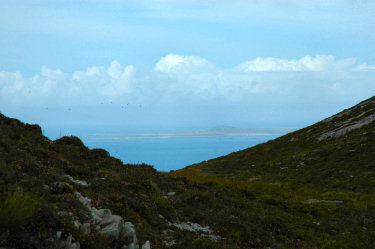
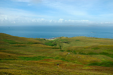
From the summit of Sgarbh Breac I descended into Bealach Gaoth' Niar to reach the north-west coast between Bholsa and Rhuvaal. Looking back I had a good view towards Jura with the clouds briefly lifting over the Paps of Jura. Looking forward I had first glimpses of Oronsay and Colonsay in the distance. Finally the weather I had hoped for earlier appeared at least for a moment: The sun came out, creating beautiful colours and great views over the coast and towards Bholsa. Oronsay and Colonsay were visible in the haze in the distance while below me I could see deer running towards Port a' Chotain. |
 |
 |
The view over the raised beaches towards Bholsa with Mala Bholsa (127m) in the distance was especially impressive. So beautiful that I've created a small QuickTime VR panorama of the view towards Bholsa: 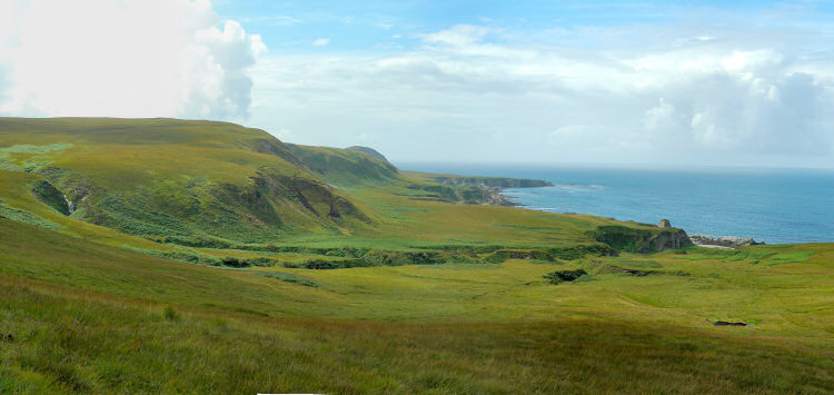
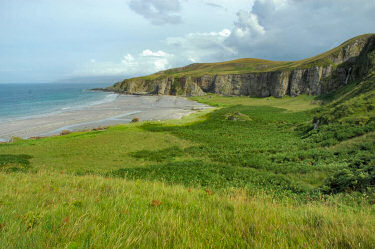
From here I turned east again towards the most northern part of Islay. My first stop was at Bàgh an Dà Dhoruis, where I enjoyed a nice view over the beach and waterfall from Aonan an Dà Dhoruis. I crossed the burn just above the waterfall before crossing over to the eastern side between Sgarbh Beag and Cnoc na Faire. From here it wasn't far to Rhuvaal Lighthouse, so I decided to quickly visit it. The lighthouse is impressive with views to Oronsay, Colonsay and of course the Isle of Jura on the other side of the Sound of Islay. |
|
 |
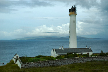 |
| By now it was late afternoon, time to tackle the long walk back from Rhuvaal to Bunnahabhain (approx 4 miles). I more or less followed the telephone poles along the Sound of Islay, crossing a number of burns swollen by the rain from the previous day. The view back towards Rhuvaal in the afternoon sun was very nice. After 1.5hrs I arrived back at my car in Bunnahabhain. A very nice walk despite not entirely perfect weather was over.
The map used for this walk was Explorer 353: Islay North. I'm not aware of any books describing walks in this area.  |
|
A rainy rest day <- Scotland Summer 2005 -> Departure from Islay
 |
Copyright © 2005 Armin Grewe |
 |