
| [Home -> Armin Grewe's holidays -> Scotland Summer 2005 -> Sandwood Bay] [Contact] |
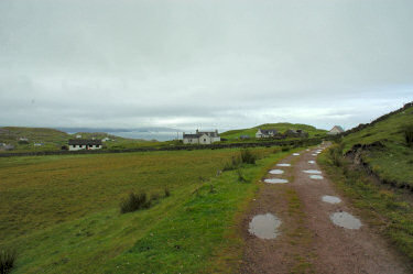 |
Sandwood Bay had been on my 'Places to Visit List' for quite a while, so I decided to drive up to Blairmore on my last day in Sutherland despite a quite grey and misty morning. Driving through a number of showers on the way I had my doubts but the lucky break during my walk to the Old Man of Stoer the previous day made me drive on.
When I arrived in Blairmore it was cloudy but dry, good enough to give it a go. The car park was quite full (including a car I had seen in Inchnadamph earlier, but more about that later), I wasn't the only one who had decided that the weather was good enough. Soon I was on my way through the fairly bleak and featureless peatland. Initially following the old peat road for about 1.5 miles, then along a path for another 2 miles or so. |
 |
|
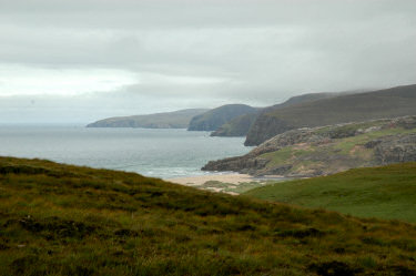 |
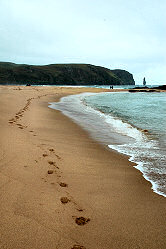 After a good hour of steady walking I caught first glimpses of the beach behind the hills. Through the dunes I made my way down to the beach. After a good hour of steady walking I caught first glimpses of the beach behind the hills. Through the dunes I made my way down to the beach.
First I walked to some rocks which could just be reached over a bit of beach almost like a tombolo. My first impression was that the bay was much smaller than I had expected. Only later I realised that I had arrived at high tide where a large part of the sandy beach is covered by water. |
 |
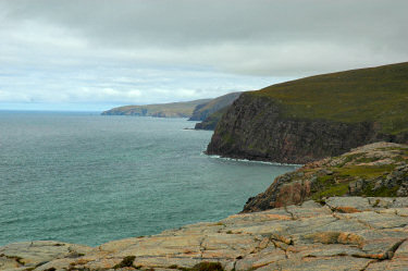 |
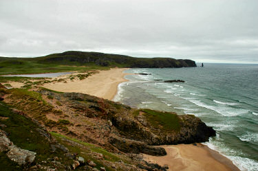
  I decided to walk north a little bit for a better view over the bay. After crossing the outlet from Sandwood Loch over some stepping stones I walked up some low cliffs from where I enjoyed good views both south over the beach and to Am Buachaille as well as north towards Cape Wrath. I didn't have enough time this day, but one day I plan to walk all the way up to Cape Wrath. I decided to walk north a little bit for a better view over the bay. After crossing the outlet from Sandwood Loch over some stepping stones I walked up some low cliffs from where I enjoyed good views both south over the beach and to Am Buachaille as well as north towards Cape Wrath. I didn't have enough time this day, but one day I plan to walk all the way up to Cape Wrath.
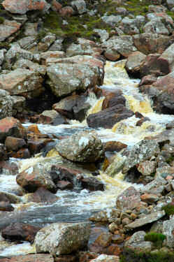
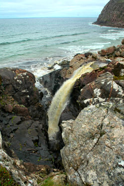
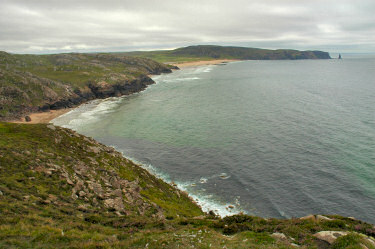
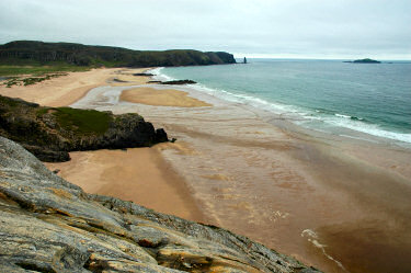
Walking on I came to the first obstacle on the way north: Strath Chailleach. The picture on the left doesn't fully do it justice, it's wider and deeper than it looks. Looking for a place to cross it I found the impressive waterfall where it runs into the sea. After a while I found a place further up where I was able to ford it without getting wet feet (thanks to my gaiters and some quick walking). Then it wasn't far to the lower slopes of Cnoc a' Gheodha Ruaidh for an excellent view over the whole of Sandwood Bay (and some lunch). Even with the tide still quite high the view over the bay was impressive, Am Buachaille standing at the other end of the bay more than two miles away. This view must be even more impressive on a sunny day and at low tide. Unfortunately I didn't have the time to wait for low tide here, so I started heading back, crossing Strath Chailleach at the same point where I had crossed it on my way out. Then it was time for more views over the bay from the half way point with the water now receding rapidly. |
|
 |
 |
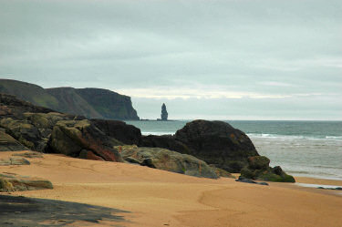 |
With the tide going out it was possible to walk on the beach in many more places than earlier when I was on my way up. I dropped down to the beach for a great view of the brightly coloured sand and over to Am Buachaille.
Climbing up the cliffs again I noticed a couple passing into the other direction not too far away, but I couldn't place them. Then they noticed me as well and came over. It turned out they were a couple I had met at the Inchnadamph Hotel where we had a chat about places to visit and the beauty of walking in Scotland. They were now camping at Sandwood Bay for a few days. Later in the afternoon the tide was out far enough allowing me to see the real size of the beach. From a cliff roughly in the middle of the bay I managed to take the pictures for a 180° QuickTime VR panorama of a view over Sandwood Bay (5MB download): |

Returning to the beach I climbed on some of the rocks now high above the water. From here I had a great view back over the beach and the dunes. The flattened panorama below distorts the view, a better view can be had from the QuickTime VR panorama of south Sandwood Bay:  |
|
 |
By now it was almost 18:30, time to start the long trek back to Blairmore. After a long day out the walk back was quite tiring, but by 20:00 I was back at my car.
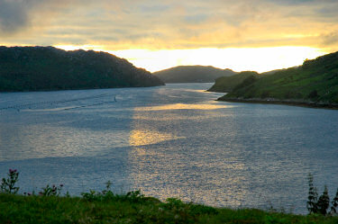
Stopping at a shop on the way (I think in Inshegra) to buy something to eat I drove back to Inchnadamph. After a cloudy day even the sun broke through, allowing me a nice view over Loch Inchard at Achriesgill Bay with the low sun glistening on the water. The map used for this walk was Explorer 446: Durness & Cape Wrath. A short description of the walk can be also be found in Walking in Scotland (Lonely Planet Walking Guides S.) by Sandra Bardwell et al. |
The Old Man of Stoer <- Scotland Summer 2005 -> Summer Isles and Ullapool
 |
Copyright © 2005 Armin Grewe |
 |