
| [Home -> Armin Grewe's holidays -> Scotland Summer 2006 -> Beinn Eighe (East) - Wester Ross] [Contact] |
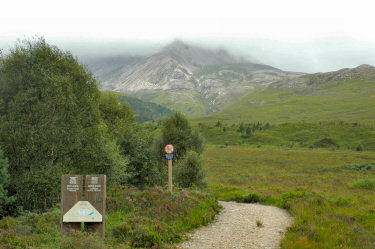 |
After the views during my walk to the summit of Slioch the previous day were still limited by low clouds I was hoping for further improvements during my fifth day in Wester Ross. The eastern part of Beinn Eighe around Coire Domhain were my destination for this day.
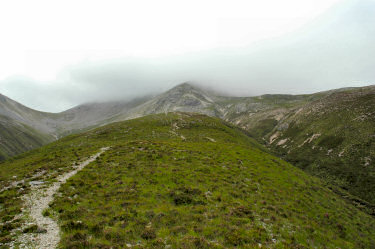
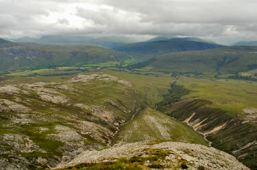
I decided to leave the car in Kinlochewe again and walked out along the A896 towards Glen Torridon until I reached Cairn Sheil just before Cromasaig. Here I left the road to follow the track on the northern side of Allt a' Chuirn. The path pretty much follows the burn and slowly but steadily climbs until reaching the northern ridge of the corrie. After fording the burn I started to tackle the ridge and quickly gained height. While the clouds very still fairly low above the views back and over to Kinlochewe were impressive: |
 |
 |
 |
Sometimes the walking was quite easy and straightforward, sometimes it was two steps forward and sliding back one on the scree. At least it was dry, in wet weather I expect this part to be quite unpleasant.
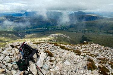
Early in the afternoon I arrived at Creag Dhubh (929m), the most easterly top of Beinn Eighe. The clouds were still fairly low while I had my lunch, only occasionally giving me glimpses back to Kinlochewe. Finally the clouds lifted for a short moment, giving me a nice view north east from Creag Dhubh taking in Loch Maree, Meall a' Ghubhais and Slioch. You can also view a Quicktime VR panorama of the view north east from Beinn Eighe: |
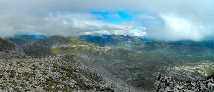 |
|
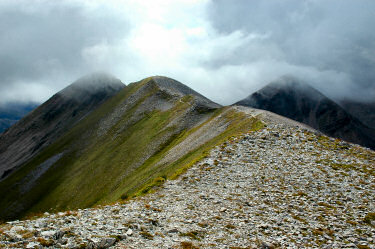 |
Refreshed after my lunch and a rest I decided to continue south west along the ridge towards the Black Carls. Initially it is very easy walking, following a well worn path over the scree and along the ridge. But after a while it gets more interesting:
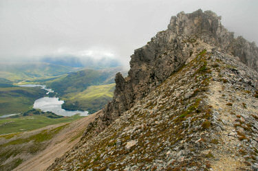
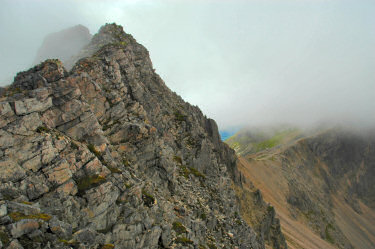
The Black Carls. Approaching them it looks just like a wall blocking the path. Some interesting scrambling followed, sometimes weaving around the rocks, sometimes going straight over them. Unfortunately the clouds were still quite low, in better visibility I'm sure the drops would be have been much more impressive. And scary. |
 |
 |
At some point the clouds lifted for a moment, giving me a quite nice panoramic view over the Black Carls and east over Coire Domhain. You can also view a Quicktime VR 180° panorama of the view from the Black Carls:  |
|
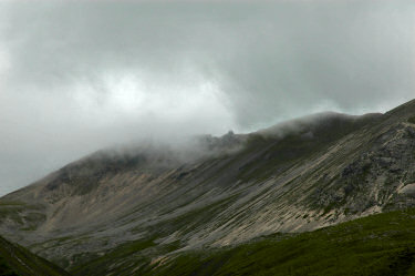 |
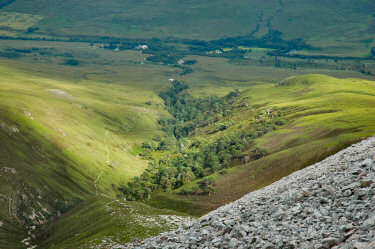
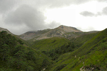
After reaching the top of Sgurr nan Fhir Duibhe (963m) I decided to return the same way as I had walked up instead of walking down the eastern ridge as described in my guide book. On the way down I had a few nice views back to the Black Carls and the corrie as well as down over a Meallan na Circe-fraoich bathed in sunshine.
After a good six hours I arrived back at the hotel, despite not making it three Munros for this holiday and limited visibility a very nice day out. The map used for this walk is Explorer 433: Torridon, Beinn Eighe & Liathach. I didn't follow it exactly, but a good description of a very similar walk (and the basis for my walk) can be found in Ralph Storer's 100 Best Routes on Scottish Mountains. |
 |
 |
Previous: Slioch - Wester Ross <- Scotland Summer 2006 -> Next: On the way to Islay
 |
Copyright © 2006 Armin Grewe |
 |