
| [Home -> Armin Grewe's holidays -> Scotland Summer 2006 -> Slioch - Wester Ross] [Contact] |
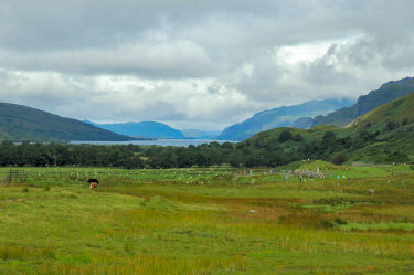 |
On my fourth day in Wester Ross the weather finally looked more promising and I decided to give Slioch (981m) a try. While there were still a lot of clouds around it looked brighter and as if the clouds might lift high enough for a nice view from the summit
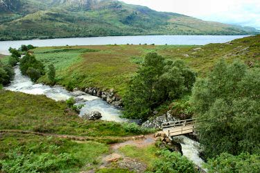
Setting out from Kinlochewe I walked to Incheril where I joined the path to Letterewe. The path follows the banks of Kinlochewe River until it reaches Loch Maree. Then I crossed the bridge over Abhainn an Fhasaigh, which was in full flow after all the rain the previous days, before turning north-east. Walking into Gleann Bianasdail the path more or less follows the river for a while, then my path turned north towards the saddle between Sgurr Dubh and Meall Each. From the saddle I had a nice view back over the glen and Loch Maree before turning into Coire na Sleaghaich. |
 |
 |
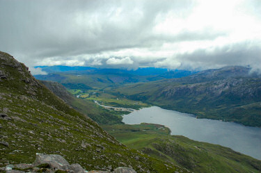 |
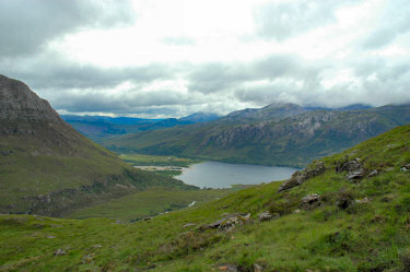
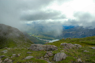
After turning into the corrie I walked west for a while before turning south-west to climb up to the ridge between Sgurr Dubh and Slioch. From here (about 650m high) I had a quite nice view over the southern end of Loch Maree and over to Kinlochewe.
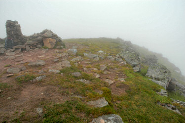
While it had looked for a long time as if the clouds were lifting they seemed to have stopped somewhere around the 800m mark. As I continued my ascent along the ridge to the summit of Slioch I was soon reaching the clouds, dramatically reducing visibility. Quickly passing the false summit (933m) on the ridge I made my way to the trig point (980m). The real summit (981m) is actually a few metres north of the trigpoint, I visited it after eating my lunch. Not that it made any difference in regards to visibility, I couldn't see anything apart from the clouds at either place. |
 |
 |
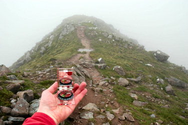 |
Despite the low clouds I decided to continue along the ridge to Sgurr an Tuill Bhàn. A quick check of directions and I was on my way, soon finding the path following the ridge. Visibility continued to be very low, nevertheless I enjoyed the walking and the quiet.
I had almost given up hope for any nice views when suddenly the clouds started to lift, presenting me a quite nice view north over Loch Garbhaig and Lochan Fada. Meall Daimh (684m) was also in view, partly blocking the view over Lochan Fada. The view only lasted for a few minutes though, then the clouds came down again. You can also view a Quicktime VR 180° panorama of the view north from the Sgurr an Tuill Bhàin ridge: |
 |
|
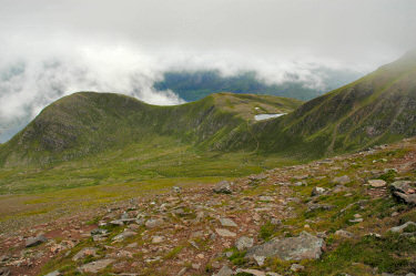 |
Descending the southern flank of Sgurr an Tuill Bhàn I had a quite nice view into Coire na Sleaghaich with Sgurr Dubh (738m) and the ridge to Slioch on the other side. The clouds were still hanging at around 800-850m, only occasionally lifting to may be 900m. Only brief moments where I thought I might see the summit of Slioch cloud free, but it wasn't meant to be.
Reaching the floor of the corrie I had a quite nice view around, although I had to watch where I was putting my feet. After all the rain the previous days the ground was very wet under foot, water flowing almost everywhere. I crossed the corrie to the saddle between Sgurr Dubh and Meall Each, then started the long trek back as I had walked out in the morning. |
 |
|
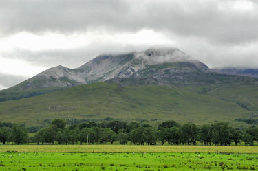 |
Walking back from Gleann Bianasdail to Incheril I had a quite nice view over to Beinn Eighe, which I was planning to visit the next day. Its summits were also still covered in clouds, were they going to lift?
Early in the evening I arrived back at the hotel in Kinlochewe after a very nice day out despite the clouds. The map used for this walk is Explorer 435 - An Teallach & Slioch. While I used a route description from a walking magazine very similar routes can be found in Ralph Storer's 100 Best Routes on Scottish Mountains and Nick Williams' pocket mountains - Northern Highlands. |
Previous: Slattadale - Wester Ross <- Scotland Summer 2006 -> Next: Beinn Eighe (East) - Wester Ross
 |
Copyright © 2006 Armin Grewe |
 |