
| [Home -> Armin Grewe's holidays -> Scotland Summer 2006 -> Ben Macdui] [Contact] |
 |
After a good night's rest I was ready for some hillwalking, but would the weather cooperate? Almost exactly a year earlier low clouds had made me abandon a walk on the Cairngorm plateau, it didn't look too promising when I got up this morning either. I decided to drive to the Coire Cas carpark for a closer look. Driving into the Cairngorms National Park from Aviemore I stopped at Glenmore and considered if Meall a' Bhuachaille might be a better option?
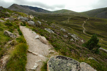
But then I continued to the Coire Cas carpark to discuss the weather forecast with the rangers at the ranger station. Just as I arrived it started to drizzle, not a good omen. But the weather forecast looked very promising and after some debating with myself I decided to give it a try. Soon I was on my way into Coire an t-Sneachda... |
 |
|
 |
When I walked into Coire an t-Sneachda the weather looked already much better than the previous year: The clouds were much higher and I was able to see the whole corrie, much more promising!
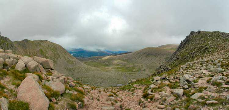
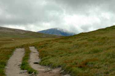
I crossed the floor of the corrie and started to climb the steep path near the Fiacaill Buttress to reach the Cairn Gorm plateau. Arriving on the plateau I followed the well worn path on the south eastern side of Cairn Lochan towards Ben Macdui. There will still some clouds around, but it looked like they were lifting. This was confirmed by a number of other walkers I met on the way, who told me that visibility had improved a dramatically over the last hour. Time to get to the summit! Just over two hours after leaving from the car park I arrived at the summit of Ben Macdui (1309m/4294ft). |
 |
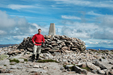 |
| Having arrived at the summit I enjoyed great views into all directions, the clouds having lifted from Ben Macdui and almost all other summits I could see. Occasionally clouds still moved in over some of the summits, but they usually moved away again quickly.
The most impressive view was probably looking west over the Lairig Ghru and the various Munros on the other side of it. I'll have to visit them one day when I get a chance. You can also view a QuickTime VR panorama of the view west from Ben Macdui: 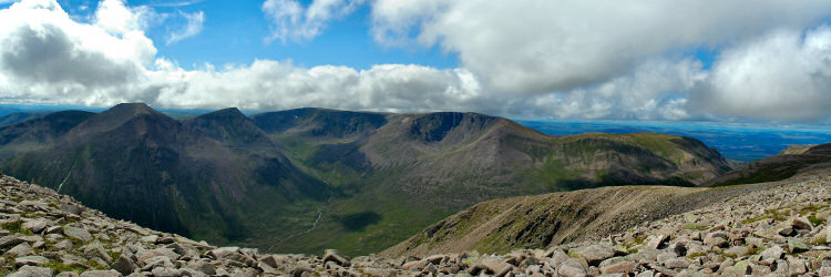
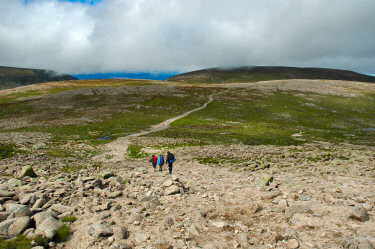
After eating my lunch it was time to think about walking back. I decided to follow the path towards Coire an Lochain, but then cross over Cairn Lochan and Stob Coire an t-Sneachda towards Cairn Gorm, where I would then walk down Coire Cas to the Coire Cas car park. Descending north from Ben Macdui I could see most of my way ahead of me:  |
|
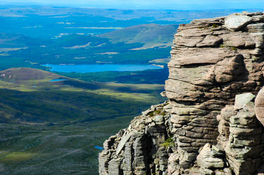 |
From the northern cliffs of Cairn Lochan I had some nice views north over to Aviemore and Loch Morlich. Unfortunately it was too hazy to see clearly much further than that.
The cliffs here are quite steep and I believe popular with climbers, although I didn't see any in this area when walking along them. May be they were all in other areas of the Cairngorms, there are a lot of other excellent places for climbing as well. Just east of the summit of Cairn Lochan (1215m) I had a great view over the Cairngorm Plateau, among others taking in Cairn Gorm, Beinn Mheadhoin, Carn Etchachan, Ben Macdui and Cairn Toul. You can also view a QuickTime VR panorama of the view over the Cairngorm Plateau: |
 |
|
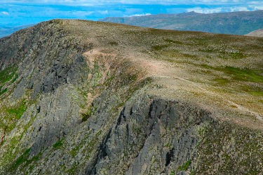 |
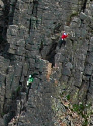 Approaching Stob Coire an t-Sneachda from the Fiacaill Buttress I noticed a few dots moving on the rockface and on the rim. Other walkers and a few climbers demonstrated how big the hills are: The two walkers are the two dots in the light area just above and left of the centre. The climbers are below and right of the centre. Approaching Stob Coire an t-Sneachda from the Fiacaill Buttress I noticed a few dots moving on the rockface and on the rim. Other walkers and a few climbers demonstrated how big the hills are: The two walkers are the two dots in the light area just above and left of the centre. The climbers are below and right of the centre.
On the right I've enlarged the part of the picture with the climbers making their way up. |
| Now I was almost back at my car. Over Stob Coire an t-Sneachda I followed the path to the cairn at the top of the Fiacaill a' Choire Chais ridge, from here I followed the soon well maintained path into Coire Cas. Early in the evening I arrived back at my car and drove back to Carrbridge, time for a quick shower before a well earned dinner!
The map used for this walk was Explorer 403: Cairn Gorm & Aviemore. I'm not aware of any books describing the walk as I completed it, most guide books have good descriptions of walks in the area. |
|
Previous: Dunkeld, on the Way North <- Scotland Summer 2006 -> Next: Travelling to Wester Ross
 |
Copyright © 2006 Armin Grewe |
 |