
| [Home -> Armin Grewe's holidays -> Islay Walking Week April 2006 -> The Oa and Beinn Mhór] [Contact] |
 |
The last day of WalkIslay 2006 had arrived: For the first walk of the day Gus Keys took us out on The Oa and to Beinn Mhór, the highest hill on The Oa.
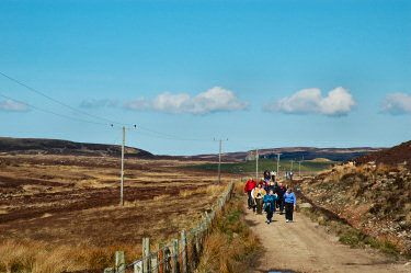
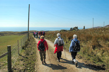
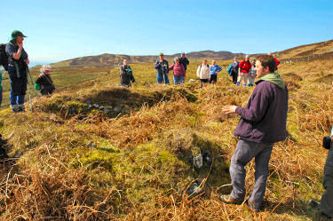
We met in Port Ellen from where we shared cars out to The Oa, leaving the cars near Coillabus at the entrance to Glen Golach/ Glen Astle. For the first mile or so the walk wasn't too exciting, as we walked along the track past Lower Coillabus and on towards Ballychatrigan. But when we approached Inveraval this all changed with the first glimpses of the sea glistening in the sun and views to Kintyre and Ireland. We continued along the track until we reached Cill Chomhan, where we stopped for lunch. Not much is left of the chapel, only a little remains of walls. |
 |
 |
 |
Refreshed after lunch we continued our walk, crossing the track and walking down towards the shore. Reaching the shore near Torr an Aoil we had great views north east along the shore and towards Kintyre. Kilnaughton Bay and Port Ellen were hidden behind Rubha Dubh Alt a' Mhadaidh, but we could see Texa in the distance.
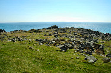
At Carraigh Bun Aibhne we had to drop down almost to sea level where a burn had cut deeply into the hillside on its way towards the sea. We then reached Rubha nan Leacan, which at first glance looks quite unspectacular and not really worth visiting. There isn't very much to see really, but then it is the most southerly point of Islay and therefore worth a mention and a visit. |
 |
 |
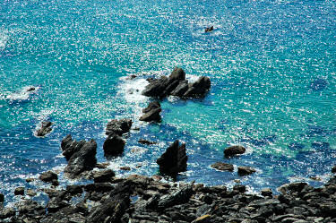 |
Now heading west the views got even better. While it was still hazy in the distance the sun had fully come out, presenting us with a clear blue sky above us and a sea glistening in the sun below us.
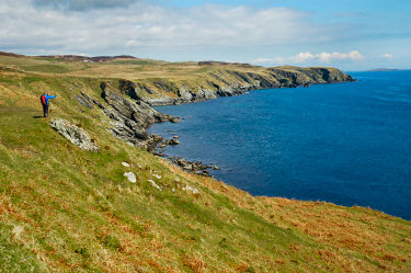
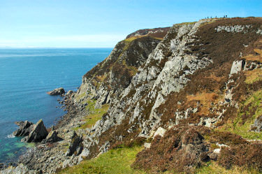
As we gained some height we could see the white buildings of Laphroaig distillery in the north east, the small and now uninhabitated island of Texa just off the Islay coast close to it. The cliffs now were quite high, easily approaching and sometimes exceeding 100m in height. The picture below nicely demonstrates the height, the tiny little dots on the top of the cliffs are some walkers on their way towards Beinn Mhòr. |
 |
 |
Stopping for a short rest we enjoyed some great views over the eastern coastline of The Oa, taking in Laphroaig, Lurabus, Ballychatrigan, the southern tip of Islay and the steep cliffs just below us. You can also view a QuickTime VR panorama of the East of The Oa: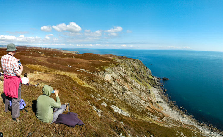 |
|
| More about this walk in part 2: The Oa and Beinn Mhór (cont'd) | |
Previous: Ardnave <- Islay Walking Week April 2006 -> Next: The Oa and Beinn Mhór (cont'd)
 |
Copyright © 2006 Armin Grewe |
 |